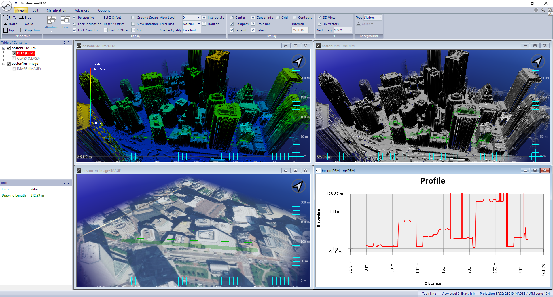
The page provides an overview of uniDEM's layout and display features.
uniDEM Logo
The uniDEM logo provides access to data loading, saving, project creation and parameter management.
See
uniDEM Logo Menu for more details.
Ribbon Bar
The Ribbon Bar provides access to tools, functions and options through uniDEM's menu system.

Table Of Contents
Presents the loaded DEMs, imagery, land use masks and geometry (vector) data by name.
Each top level item in the Table of Contents holds one or more sets of data which can be turned on an off on each window in the
Data Views by clicking the associated check boxes.
Context Menu - top level
Right clicking on the dataset (i.e. DEM) allows many operations as described below.
- Check All - displays all the layers in the dataset on the in active view in Data Views
- Uncheck All - turns display off for all the layers in the dataset on the active view in Data Views
- Fit To Window - Focus's the active view to center of the dataset and zooms to the appropriate View Level to cover the extents of the dataset
- Select - Activates select mask for all data within that layer
- Unload - Unloads all data layers in this dataset from uniDEM
- Save As - Allows the data storage format to be changed
- Export - Allows layers within the dataset to be exported
- Rename - Allows the renaming of the dataset
- Copy - Allows the renaming of the dataset

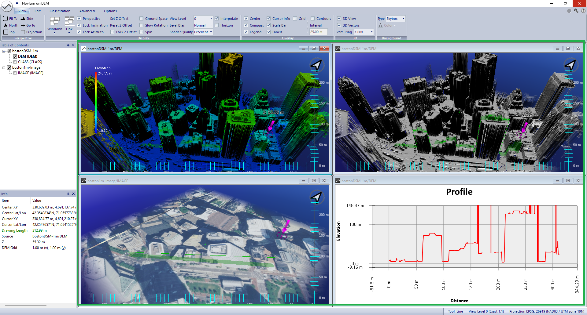
Info
The Info box provides contextual information about the pixel and/or point location, height, data layer and mask information, mask information and
selection area, etc.
Data Views
Displays 2D and 3D terrain views, DEM profiles, and elevation values.
Parameters
The Parameters section is key to defining tool behaviors.


