This tutorial describes how to create a Digital Terrain Model (DTM) from a LIDAR point based Digital Surface Model (DSM) at a resolution of 1 meter.
This includes water editing and first surface features removal (vegetation, building, bridges) in accordance with the USGS
1-Meter Digital Elevation Model Specification.
Prior to commencing a project perform the following steps.
A copy of the Active DEM (bostonDSM-1m.tif) should be made for comparison later in the editing process because changes
within uniDEM are saved to the Active Dataset which is bostonDSM-1m in this case.
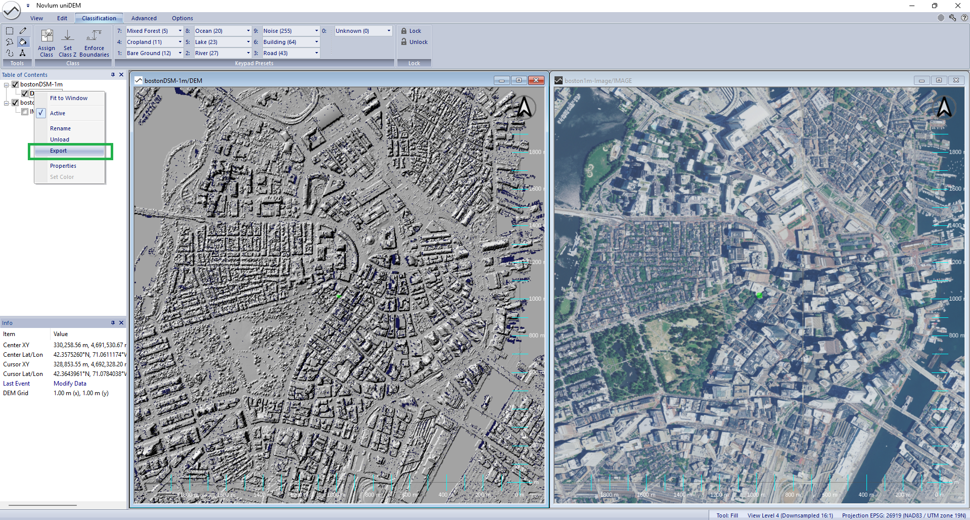
Right click DEM under bostonDSM-1m in the Table of Contents and select Export
Enter a filename (such as bostonDSM-1m Copy.tif) for the copied DEM (bostonDSM-1m Original.tif)
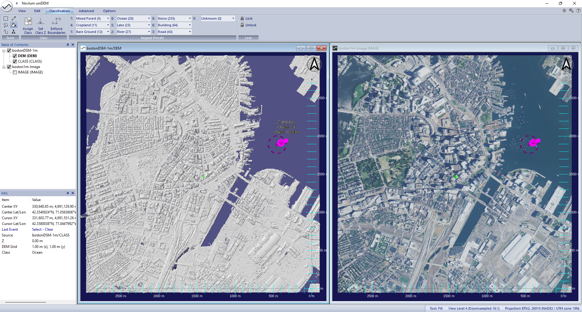
Load bostonDSM-1m Copy.tif
Note: The DEM (DEM) in the bostonDSM-1m dataset listed in the Table of Contents is bold. This means this is the Active Dataset.
The Active Dataset is the DEM that will be edited.
Water identification and flattening is required to ensure consistent elevations and to fill missing data from the collection
process as required by the DEM specification.
The Classification Mask is created to align spatially with the DSM being edited the first time a mask value is assigned.
Classify and flatten the ocean, following the Water Flattening tutorial
Now that the water has been edited it is time to separate ground features from everything else including trees and buildings.
Separation of Bare Ground from other features is readily achieved with a high resolution DSM created from LIDAR as the noise levels are very low and the samples are collected largely from a top down (Nadir) view.
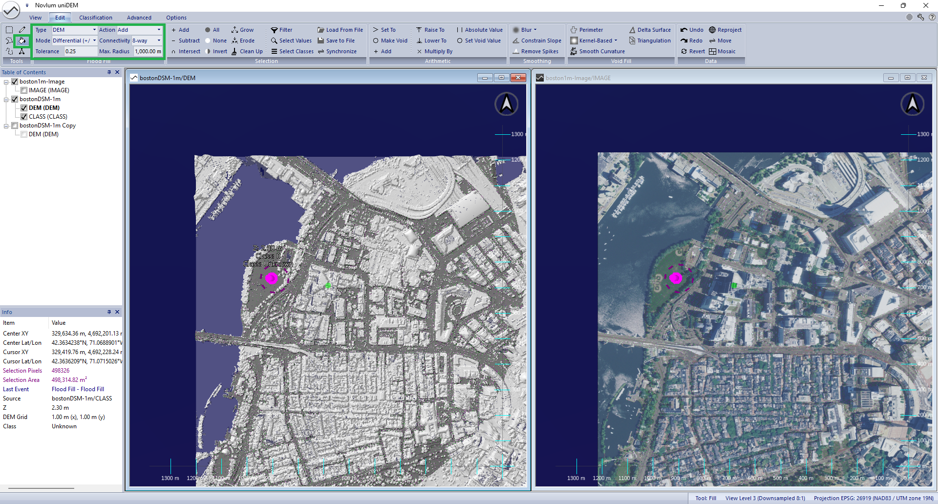
Flood Fill on DEM
Press F to enable the Flood Fill tool (or: Go to Home, panel Tools and select Flood Fill Tool)
In the Edit tab and Flood Fill Options panel, set the follwing parameters:
Type: DEM (CLASS layer will be used for the filling)
Mode: Differential (+/-)
Tolerance: 0.25 m
Max. Radius: 1000.00 m
All other parameters can be used as they are.
Select areas: Press Shift+Left-Click on areas of bare ground
Zoom out and observe that all pixels connected to a neighbour within 0.25 m are selected
Zoom in and pan around to add disconnected regions of bare ground. In this case tunnels and building courtyards require addition
Use the polygon tool (Press P) to deselect connected areas that are not ground such as parking structures
When complete:
In the Edit tab and the Selection panel, and click Erode; Number of pixels to erode: 1
Assign the selection to the Class Mask:
In the Classification tab, click 1: Bare Ground (12)
In the Edit tab and Selection panel, click Invert
Assign the selection to the Class Mask:
In the Classification tab, click 6: Building (64)
Disable the colorized shader to review the classification: Press H
Select and classify any additional bare ground identified
Press Esc to clear the selection
Void and Infill Buildings to Create Bare Earth
Select all non-bare pixels in the mask:
In the Edit tab and Selection panel, click Select Values and set the following parameters:
Select data set: bostonDSM-1m
Select data: Class
Select Class(es): Building (64)
In the Edit tab and Arithmetic panel, click Make Void
In the Edit tab and Void Fill panel, click Triangulation and set the
following parameters: